


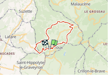

9.1 km | 13.9 km-effort


User


FREE GPS app for hiking
 SityTrail
IGN / Geographical institutes
SityTrail World
The world is yours!
Trail Walking of 13.4 km to be discovered at Provence-Alpes-Côte d'Azur, Vaucluse, Le Barroux. This trail is proposed by FLORENSAC.
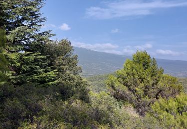
belle boucle avec un peu de denivellé
on a mange a l abbaye de l annociation
tables et bancs a disposition
l occulus est un peu cache par la vegetation surtout l eté 😉


Walking

Walking

Walking
Walking

Walking

Walking

Walking

Walking

Walking